
50 Years of Meghalaya Statehood
2022-05-09 Mon
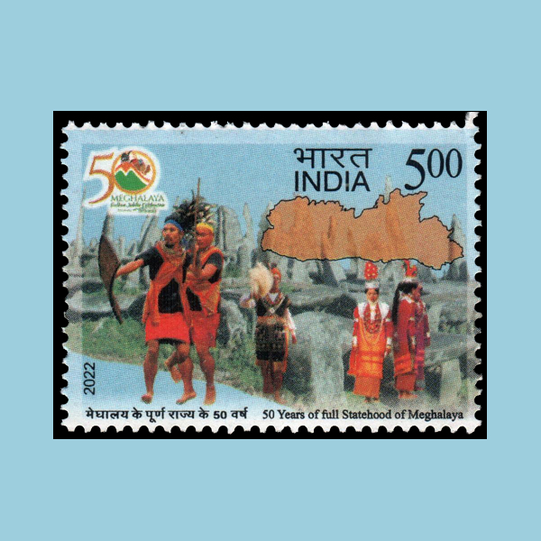
Meghalaya is the wettest region of India. Around 70 percent of the state is covered under forest. It is one of the Seven Sister States of northeast India.Neolithic sites have been discovered in Khasi Hills and Garo Hills. The state is mountainous, with stretches of valley and highland plateaus, and it is geologically rich. The important rivers are Khri, Umtrew, Digaru, Umiam or Barapani, Kynshi (Jadukata), Umngi, Mawpa, Umiam Khwan, Umngot, Umkhen, Myntdu and Myntang. The highest point in Meghalaya is Shillong Peak with an altitude of 1961 m.
Statehood Day is celebrated every 21st of January. The Reorganisation Act mandated the creation of the state of Meghalaya. Imphal is the capital of northeastern Meghalaya state. The state is bound to the south by the Bangladeshi divisions of Mymensingh and Sylhet, to the west by the Bangladeshi division of Rangpur, and to the north and east by Assam.
Image Courtesy: https://stampsofindia.com/
Latest News
-
Ghiyath Shah as Heir Apparent
2025-09-25 ThuGhiyath Shah was the ruler of the Malwa Sultanate, reigning from 1456 to 1500. From 1456 to 1469, he...
-
Malwa Sultan Mahmud Shah Silver Coins
2025-09-11 ThuMalwa Sultan Mahmud Shah minted silver coins in round and square flans. <br><br> For round coins,...
-
Malwa Sultan Mahmud Shah Billon coin
2025-08-26 TueMalwa Sultan Mahmud Shah's billon coins followed three weight standards: 100 rati, 96 rati, and 80 r...
-
Fascinating Archaeological Facts on Postage Stamps - 91
2025-08-23 SatRhinoceros is one of the oldest land mammal species existing in India. There are five species of rhi...
-
Fascinating Archaeological Facts on Postage Stamps - 90
2025-08-23 SatUthiramerur, a Village in Kanchipuram, Tamil Nadu, is notable for its Temple inscriptions that descr...